Lidar Services
Unlocking Precision with Lidar Technology
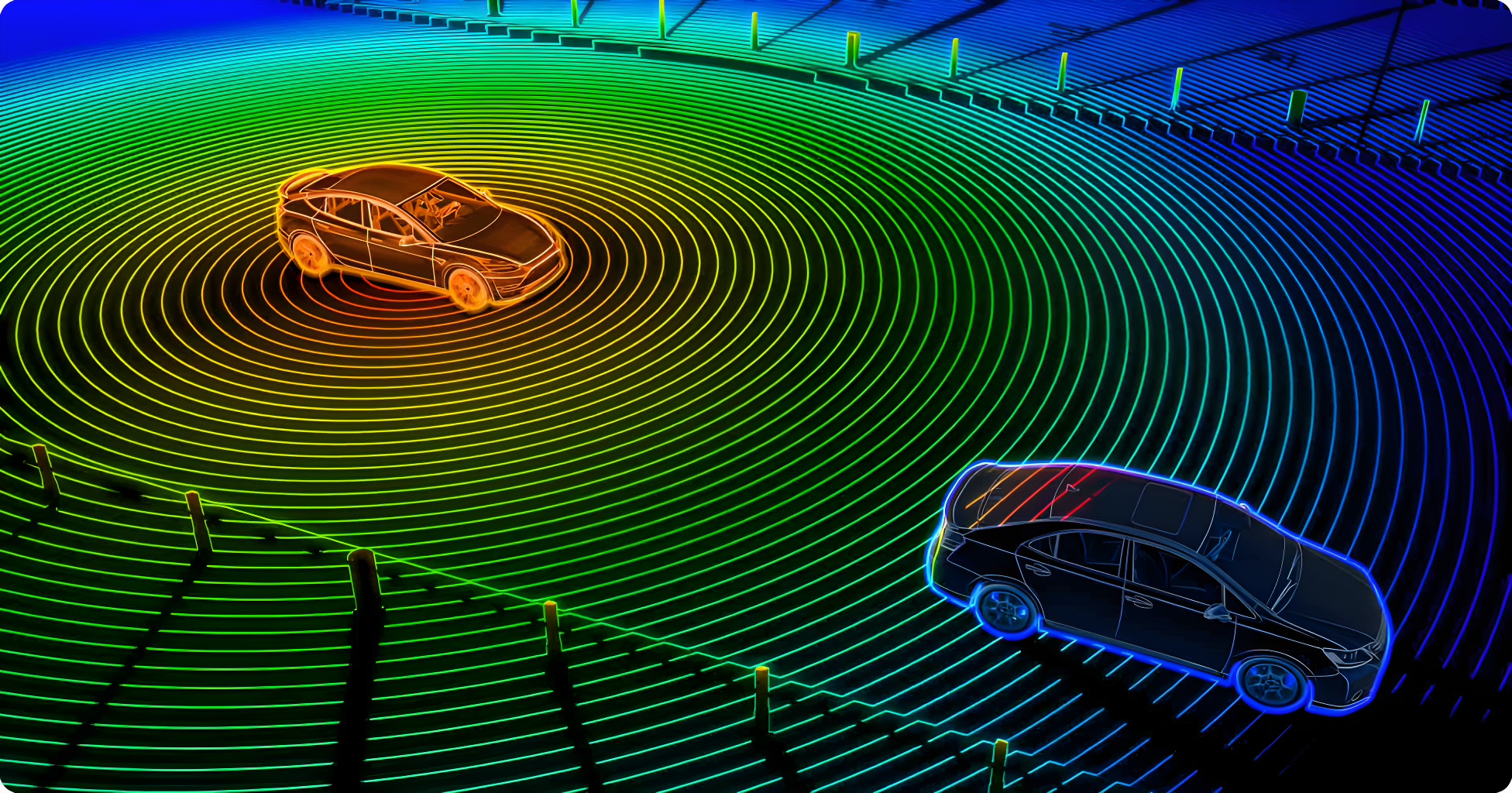
We offer Lidar services using our state-of-the-art drones equipped with Lidar technology. Lidar enables us to create detailed 3D maps and accurately measure distances, making it ideal for applications such as terrain mapping, urban planning, and infrastructure inspection. This technology ensures faster, safer, and more efficient assessments, empowering businesses and governments to make informed decisions with confidence.
Key Applications

Terrain Mapping

Urban Planning

Infrastructure Inspection
How it works
Explore how Lidar transforms laser pulses into actionable insights.

1. Laser Emission
Lidar sensors emit laser pulses that reflect off objects to measure distances accurately.

2. Data Collection
Multiple laser pulses generate detailed 3D modeling and mapping.

3. Data Processing
Advanced algorithms process the collected data to create precise measurements.

4. Integration
The data has applications in tasks like mapping, planning, and infrastructure management.
Innovative Mapping with Lidar Technology

